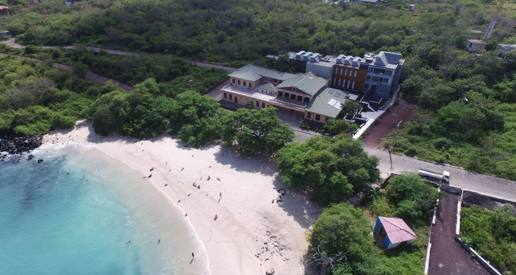
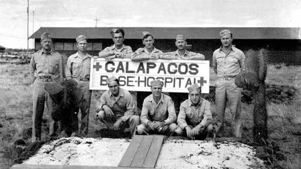
The contemporary history of the Galápagos includes little-known episodes that contrast with the archipelago’s current image as a natural sanctuary. One of these took place on Baltra Island, where, during World War II, a large-scale U.S. military base was established as part of a strategy to protect the Panama Canal. This intervention significantly transformed the territory and its ecosystems. Over time, much of this infrastructure was dismantled or abandoned, leaving traces that are barely visible today.
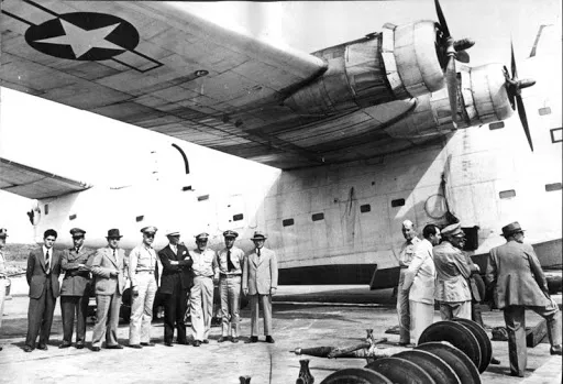
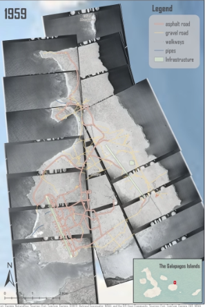
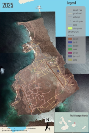
In order to recover this historical chapter and better understand its scope, a research team from the Galapagos Science Center developed a three-dimensional digital reconstruction of the military base as it existed between 1942 and 1946. The study combined multiple sources of information, including historical aerial photographs, maps, archival records, satellite imagery, and drone-based field surveys.
This approach made it possible to identify and map more than 600 structures, as well as analyze changes in land use over several decades. The results highlight both the scale of human occupation during that period and the gradual disappearance of much of the original infrastructure.
Beyond historical reconstruction, the study also demonstrates the natural environment’s capacity for recovery. Today, much of the island shows signs of ecological regeneration, with native species recolonizing previously impacted areas. The digital model not only contributes to scientific knowledge but also serves as a valuable tool for education, conservation, and heritage interpretation.
Read the article here: https://doi.org/10.5194/isprs-archives-XLVIII-3-W4-2025-71-2026