
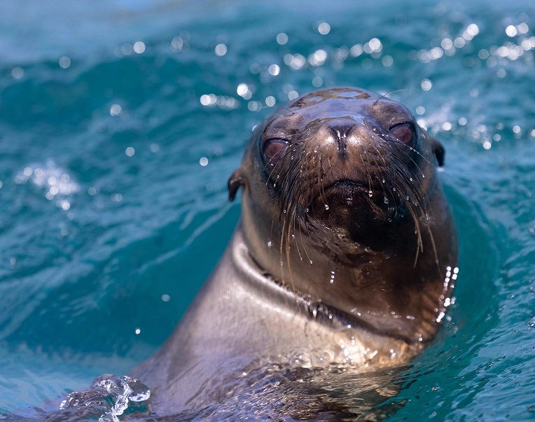
Photo: Hammerheads Darwin Jonathan
Este laboratorio utiliza herramientas como el modelado espacial, la teledetección y la representación cartográfica para integrar conocimientos mediante un enfoque interdisciplinario que permite comprender la configuración territorial y las interacciones ecosistémicas en Galápagos. Este laboratorio está equipado para apoyar las necesidades de análisis geográficos y espaciales de diversos proyectos de investigación. A través de software especializado, este laboratorio permite visualizar los resultados de investigación y ayuda a interpretar las relaciones entre variables.
Los servicios disponibles incluyen SIG en niveles básico, intermedio y avanzado; cartografía y gestión de datos geoespaciales; teledetección;
procesamiento de imágenes; herramientas de modelado 3D de islas; interpretación y medición de fotografías aéreas; así como cursos y capacitaciones.
Integrando datos, geografía y ecología
Foto: Andrew Russell
Mapeando el futuro de Galápagos
Foto: Joshua Vela
Monitoreo y mapeo de hábitats y análisis espacial de especies migratorias, endémicas e introducidas en Galápagos.
Monitoreo y mapeo de amenazas para Galápagos debido a la contaminación por plásticos.
Historia biogeográfica de plantas endémicas como el Guayabillo en Galápagos.
Observatorio del cambio climático en las islas.
Mapeo de hábitats de importancia ubicados en ecosistemas rurales.
Uso de drones para crear mapeo en tiempo real y construcción de modelos predictivos futuros sobre la distribución de especies nativas e introducidas.
Uso de suelo.
Estudio de alta resolución sobre microclimas de varias zonas de plantas en la isla San Cristóbal.
Monitoreo y control de animales de compañía y asilvestrados en áreas urbanas.
Desarrollo de propuestas para apoyar rutas turísticas en Galápagos.
Photo:
GPS Garmin GPSMAP 62sc
GPS Garmin eTrex Venture HC
GPS Garmin GPSMAP 60CSx
GPS Garmin GPSMAP 64sx
GPS Garmin RINO700 de mano con radio bidireccional
Drone DJ mavic 3
22 computadoras
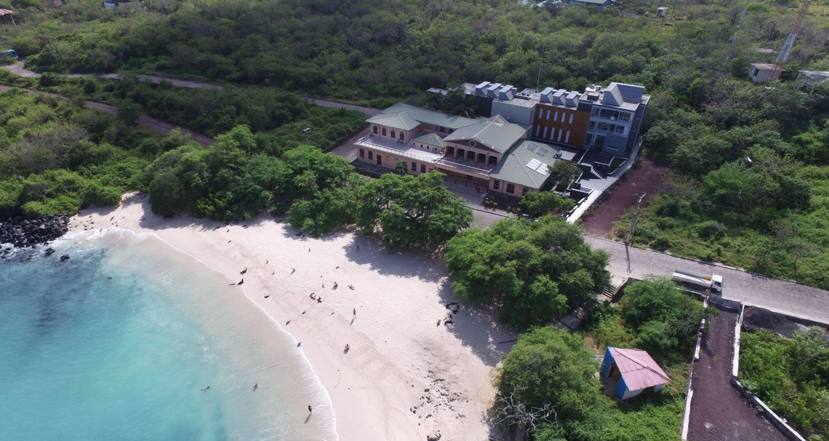
Foto: Karina Vivanco
Únete a Nuestra Misión
In 2022, the Galapagos Science Center (GSC) and the broader UNC & USFQ Galapagos Initiative will celebrate its 10th Anniversary. We are proud to announce the World Summit on Island Sustainability scheduled to be held on June 26–30, 2022 at the Galapagos Science Center and the Community Convention Center on San Cristobal Island.
The content of the World Summit will be distributed globally through social media and results documented through papers published in a book written as part of the Galapagos Book Series by Springer Nature and edited by Steve Walsh (UNC) & Carlos Mena (USFQ) as well as Jill Stewart (UNC) and Juan Pablo Muñoz (GSC/USC). The book will be inclusive and accessible by the broader island community including scientists, managers, residents, tourists, and government and non-government organizations.
While the most obvious goal of organizing the World Summit on Island Sustainability is to celebrate the 10th Anniversary of the GSC and the UNC-USFQ Galapagos Initiative, other goals will be addressed through special opportunities created as part of our operational planning of the World Summit.
For instance, we seek to elevate and highlight the Galapagos in the island conservation discourse, seeking to interact with other island networks in more obvious and conspicuous ways to benefit the Galapagos Islands, the UNC-USFQ Galapagos Initiative, and the world. We will seize the opportunity to further develop the I2N2 – International Islands Network-of-Networks. Further, we wish to highlight and emphasize multiple visions of a sustainable future for the Galapagos Islands and we cannot do this alone. Therefore, engaging the Ecuadorian Ministry of Environment, the Ministry of Tourism, the Government Council of Galapagos, the Galapagos National Park, and local Galapagos authorities, including government and non-government organizations and local citizen groups, is imperative.
Borrowing from Hawaii’s and Guam’s Green Growth Program and the Global Island Partnership, we wish to examine existing global programs that emphasize island sustainability and their incorporation into life, policies, and circumstances in the Galapagos Islands. We will also seek to enhance our connections with the institutional members of our International Galapagos Science Consortium and expand the Consortium through the recruitment of other member institutions. We will also work to benefit islands and their local communities by working with citizen groups as well as important NGOs who seek to improve the natural conditions in the Galapagos and diminish the impact of the human dimension on the future of Galapagos’ ecosystems.
Lastly, we will use the World Summit to benefit UNC & USFQ and our constituencies through a strong and vibrant communication plan about the World Summit, creating corporate relationships as sponsors, identifying funding goals through donors, and benefiting our study abroad program for student engagement in the Galapagos Islands. We plan to develop and issue a Galapagos Sustainability Communique after the World Summit that includes the vision and insights of all its participants for a sustainable Galapagos with applicability to global island settings.
We are eager to hear your perspective and have you join us at the World Summit on Island Sustainability!